
How Public Transport Works in Major Tourist Cities

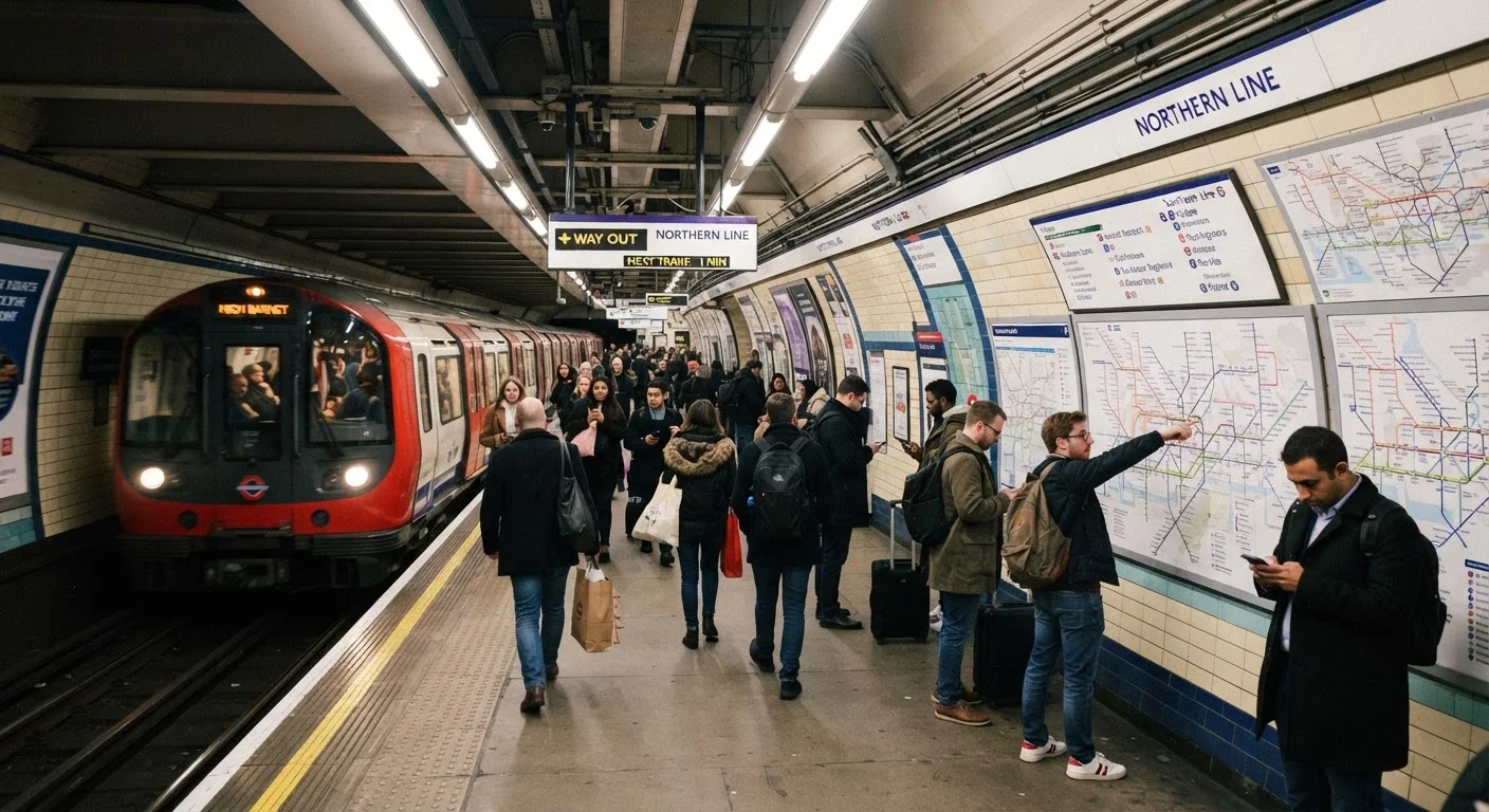
Photo: InsightsVault.com | Interesting Daily Reads editorial
Key Takeaways
- Most major tourist cities have metro, bus, or tram networks that cost significantly less than taxis for the same trip.
- Contactless payment cards are widely accepted at fare gates in many cities, removing the need for local transit cards.
- Route maps, real-time arrivals, and fare information are almost always available through official transit authority apps.
- Peak-hour travel can affect comfort but rarely changes the fare - unlike rideshare surge pricing.
- Understanding zone-based fare structures helps you avoid paying more than necessary for short trips.
- Verify entry requirements, safety conditions, and service hours with official sources before you travel.
The Core Modes: Metro, Bus, Tram, and Ferry
Most major tourist cities operate at least two or three overlapping transit modes. Understanding what each one does well helps you pick the right one for each leg of your trip.
- Metro (subway/underground): Fixed rail lines running on dedicated tracks, largely insulated from street traffic. The fastest option for longer cross-city distances. Stations are typically located near major attractions, transit hubs, and accommodation clusters.
- Bus: The most extensive coverage, often reaching neighborhoods metros don't serve. Slower because buses share road space, but useful for last-mile connections and for travelers staying outside central zones.
- Tram (streetcar): Common in European cities and some US destinations. Runs on rails embedded in streets, slower than metro but useful for short hops in dense historic areas. Often free or cheaply integrated into bus fare structures.
- Ferry: Relevant in coastal or river cities. Can double as a scenic experience while functioning as genuine commuter infrastructure. Integrated into transit passes in cities like Stockholm, Sydney, and New York.
When trip-planning, start with the metro for speed, layer buses for coverage, and use trams or ferries when they happen to align with your route.
How Fare Systems Work
Transit fares are structured in one of two main ways, and knowing which applies in your destination changes how you should pay.
Flat-Fare Systems
One price covers any single journey regardless of distance. Common in New York (subway), Chicago (L train), and London (within Zones 1-2 for most tourist trips). These are easy to budget - you know exactly what each ride costs.
Zone-Based Systems
The city is divided into concentric fare zones. You pay based on how many zones you cross. Paris, Berlin, and Madrid use zone systems. Most tourist activity happens in the innermost zone, so a zone-1-only pass often covers everything visitors need.
~$2-$3
Typical metro single-journey fare in major US cities
Standard base fares for single rides on metro systems in cities such as New York, Chicago, and Washington D.C. generally fall in this range, compared to $15-$30+ for equivalent taxi trips.
80+
Cities worldwide with integrated transit apps
Transit - a widely used third-party app - supports real-time data for over 80 cities globally, reflecting how standardized digital transit navigation has become.
50%+
Potential fare saving with a daily transit pass
In cities with flat-fare or zone-based day-pass structures, travelers making four or more journeys per day can often save more than half compared to paying per ride.
Payment options vary but increasingly include: contactless debit or credit cards tapped directly at gates, stored-value transit cards loaded with credit, single-journey tickets from machines, and mobile app payments. Many cities have phased out or are phasing out cash fare collection on buses entirely.
For a structured breakdown of when passes save money versus pay-as-you-go, see Transit Passes, Day Tickets, and Pay-As-You-Go.
Navigating an Unfamiliar System on Arrival
The first transit trip in a new city is the hardest. After that, most systems follow consistent logic.
Use Offline Maps Before You Go Underground
Before You Board
- Download the official transit authority app for your destination city - most publish real-time arrivals, route planning, and service alerts.
- Screenshot or save an offline version of the route map. Mobile data can be unreliable underground.
- Note the direction of travel by the terminus station name, not compass direction. Platform signs always show the end-of-line station, not the next stop.
At the Station
Look for color-coded line indicators, which are consistent across maps, signage, and platforms. Fare gates in most systems require you to tap in and, in zone-based systems, tap out when exiting. Forgetting to tap out in a tap-in/tap-out system typically results in a maximum-zone charge being applied automatically.
Mastering transit is one component of keeping on-the-ground costs low. Pair it with strategies from Free and Low-Cost Activities in Popular Travel Destinations to stretch your daily budget further.
What Public Transport Won't Cover - and How to Fill the Gap
Even excellent transit networks have gaps. Late-night service typically reduces to limited routes or stops entirely after midnight. Some attractions sit between stations and require a short walk or bus connection. Rural day trips from cities usually require separate rail or bus tickets not covered by urban transit passes.
“The single most reliable way to cut urban travel costs is to use the infrastructure locals use. Transit systems in major cities are engineered for volume and frequency - tourists simply need to learn to read them.”
— Affordable Travel Editorial Team, Budget travel researchers and writers
Budget travelers who rely heavily on transit also tend to save on accommodation by finding lodging near transit hubs, cutting walking distance to major lines and reducing the need to fill gaps with taxis.
When transit genuinely doesn't reach your destination, rideshares and taxis are reasonable supplements - not replacements for the whole trip. The broader framework for cutting daily transport spend is covered in Cutting Transport Costs Without Giving Up Convenience.
Transit schedules, fares, and service coverage change over time. Always verify current information through the official transit authority website or app for your destination before traveling.
Frequently Asked Questions
The content provided on our blog site traverses numerous categories, offering readers valuable and practical information. Readers can use the editorial team’s research and data to gain more insights into their topics of interest. However, they are requested not to treat the articles as conclusive. The website team cannot be held responsible for differences in data or inaccuracies found across other platforms. Please also note that the site might also miss out on various schemes and offers available that the readers may find more beneficial than the ones we cover.